Walking and driving times to plan around
| From | To | Typical time |
|---|
| Mallory Square | Historic Seaport (201 William St) | 10 min walk |
| Duval & Front St | Opal Key Marina / Hyatt dock | 3 to 5 min walk |
| Southernmost Point | Historic Seaport | 25 min walk, 8 min cab |
| Smathers Beach | Historic Seaport | 10 to 15 min drive |
| Key West airport (EYW) | Old Town hotels | 10 to 15 min drive |
| Stock Island marinas | Old Town | 15 min drive |
| Miami | Key West | 3.5 to 4.5 hrs drive |
You do not need a car in Old Town. Most people stay in Old Town, walk or ride a bike, and only drive if they are staying on the South Roosevelt side or coming down from the Upper Keys for the day. Parking downtown is scarce and expensive, so if you drive in for a morning tour, use the Mallory Square or Caroline Street garages and give yourself 20 extra minutes.
The working harbor
Historic Seaport: the Key West Bight
Most tours leave here201 William St10 min walk from Mallory Square
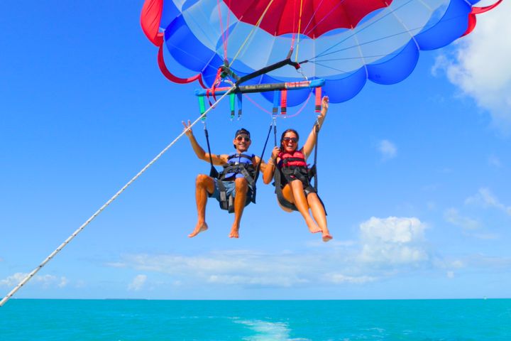
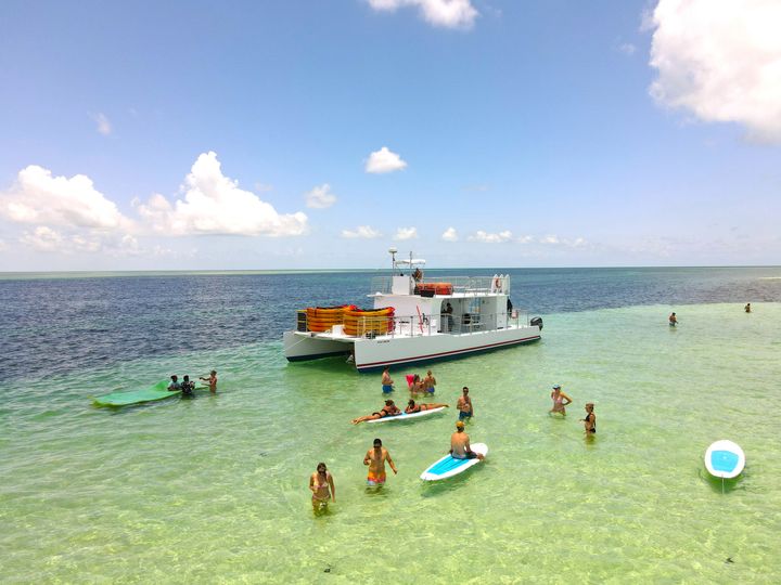
The Historic Seaport is the horseshoe of docks along the north edge of Old Town, between William Street and Margaret Street. It is the busiest half-mile of waterfront in the Keys. Parasail boats, the snorkel catamarans, the sandbar trip and the dolphin boats all check in within a two-minute walk of each other, and the Harbor Walk connects every dock with bars and raw bars along the way.
Check-in for most trips is at a ticket booth on the dock rather than a storefront, so look for the company's flag or umbrella. Arrive 30 to 45 minutes early, because the boats leave on time and the booths get a line when a cruise ship is in.
The sunset end of town
Front Street and Mallory Square
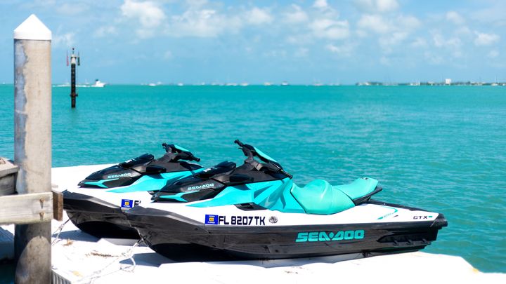
Schooners and jet skisOpal Key Marina, 245 Front StHyatt Centric, 601 Front St
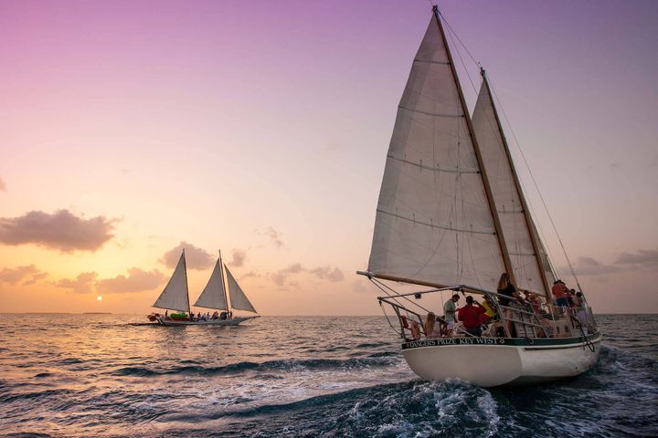
Front Street runs along the western waterfront from the cruise-ship piers past Mallory Square to the Hyatt. The schooners sail from Opal Key Resort & Marina, the jet ski tour leaves from the Hyatt Centric dock, and the nightly Mallory Square Sunset Celebration (street performers, conch fritters, a crowd cheering the sun down) starts about two hours before sunset right where you step off the boat.
Sunset Key and Wisteria Island sit just offshore. The green flash everyone talks about is real but rare; you need a flat, haze-free horizon, which happens more in winter than summer.
Where to stay
Old Town and Duval Street
Guesthouses and conch housesWalk everywhere
Old Town is the west half of the island: Duval Street running a mile from the Gulf to the Atlantic, with the Hemingway House, the Southernmost Point, Fort Zachary Taylor and the old wooden guesthouses on the shaded side streets. If you stay here you can walk to every tour on this list. Fort Zachary Taylor State Park has the best beach in town and the best shore snorkeling, a 15-minute walk from Duval.
Atlantic side
Smathers Beach and the South Shore
Longest public beachS. Roosevelt BlvdCasa Marina, Reach, airport hotels
Smathers is the half-mile of imported sand along South Roosevelt Boulevard, with food trucks, rental chairs and a steady breeze. It is shallow and sandy rather than pretty underwater, so it is a beach day, not a snorkel spot. A second parasail launch flies right off the sand here, which saves the trip downtown if you are staying at the Casa Marina, the Reach or the hotels near the airport. The airport sits at the east end of the beach, and the South Roosevelt bridge to Stock Island is just beyond it.
The east half
Mid Town and New Town
Chain hotels, groceries, the airport10 to 15 min to Old Town
The eastern half of the island is where locals live and shop: the Publix, the hospital, the airport and the chain hotels on North Roosevelt. Rooms are cheaper here, and the free Duval Loop bus or a 10-minute cab gets you to Old Town. If you are driving down for a long weekend, this is the practical base.
Across Cow Key Channel
Stock Island
Next island east, two bridges from Key WestMarinas, shrimp docks, dive and fishing charters10 to 15 min drive to Old Town
Stock Island sits directly east of Key West across Cow Key Channel, joined by the US 1 bridge on the north side and the South Roosevelt bridge on the south. It is the working half of the pair: the commercial fishing and shrimp fleet, the boatyards, the dive shops and most of the offshore fishing charters, plus the college, the golf course and the sheriff's office. In the last decade the marinas on the Safe Harbor side have been rebuilt into resort docks (Stock Island Marina Village, the Perry Hotel, Oceans Edge), and the fish houses around them, Hogfish Bar and Roostica among them, serve the freshest hogfish and stone crab in the Keys.
Visitors come here for three reasons: a scuba or fishing charter, dinner at the docks, or a cheaper room at one of the marina hotels. It is a 10 to 15 minute drive or cab to Old Town, and the free Duval Loop bus does not reach it, so plan on a car or a ride.
Gulf side
The backcountry and the reef
Wildlife refuge, sandbars, dolphinsReef 6 to 7 miles south
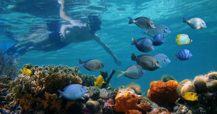
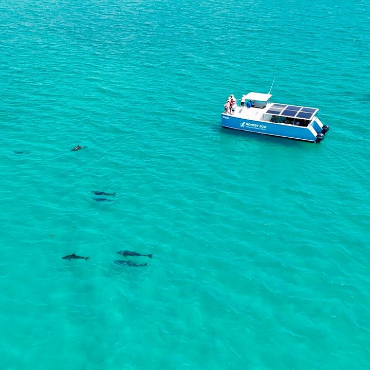
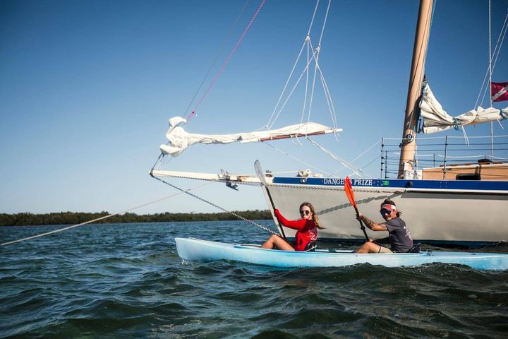
Two different oceans surround Key West. North and west is the backcountry: the shallow, protected flats and mangrove islands of the Key West National Wildlife Refuge, where the sandbars, the kayak trips and the resident dolphin pods are. South is the Atlantic and the Florida Keys reef tract, the only living coral barrier reef in the continental United States, six to seven miles offshore. The reef snorkel boats go south; the dolphin, sandbar and kayak trips go north. Dry Tortugas National Park is 70 miles further west and a full-day ferry or seaplane trip of its own.